
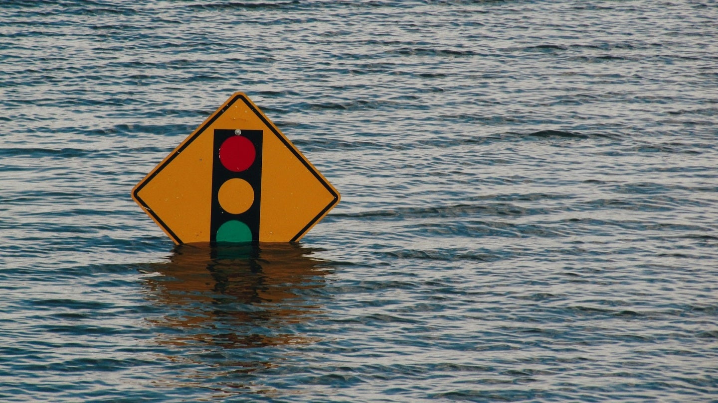
Insurtech company Floodbase has introduced a rapid flood response data solution for the continental US market.
The new offering is designed to assist government agencies and corporations in the US with swift flood disaster assessments and impact visualisations.
Go deeper with GlobalData


Access deeper industry intelligence
Experience unmatched clarity with a single platform that combines unique data, AI, and human expertise.
It is expected to improve rapid response and recovery operations, as well as enhance the accuracy of insurance claim estimations following flood events.
Flooding, recognised as the most frequent and costly weather-related disaster in the US, incurs annual costs of $180bn–496bn, as per a recent Senate report.
Floodbase collaborates with reinsurers and humanitarian organisations to create, finance and oversee parametric flood insurance offerings.
In 2023, Floodbase was chosen by the Department of Homeland Security Science and Technology Directorate’s Silicon Valley Innovation Programme to augment the Federal Emergency Management Agency’s flood analytics capabilities.
Leveraging machine learning, the company incorporates data from satellites, stream gauges and hydrological models to produce a continuous map of flood severity, capturing peak flooding at the county and census tract level.
The data, which can be overlaid on existing GIS map layers, is expected to enhance the efficiency of relief and recovery efforts.
Starting on 1 August 2024, the service will be available to various entities including emergency management agencies, insurance data platforms and corporations with emergency operations centres.
Floodbase said the service is particularly valuable for analysing floods from major events like Hurricane Harvey, as well as sudden floods such as those recently experienced in Iowa.
Floodbase will provide daily spatial data updates on floods, covering the extent and severity of the events, and continue to deliver data until the floodwaters recede.
Floodbase CEO Bessie Schwarz said: “Our mission is to enable all communities to prepare for and respond to climate disasters by reducing the barriers to scientific information and capital.
“By making this data more broadly available, communities will be better prepared, and better equipped to deploy resources to recover efficiently and equitably from flood events.”