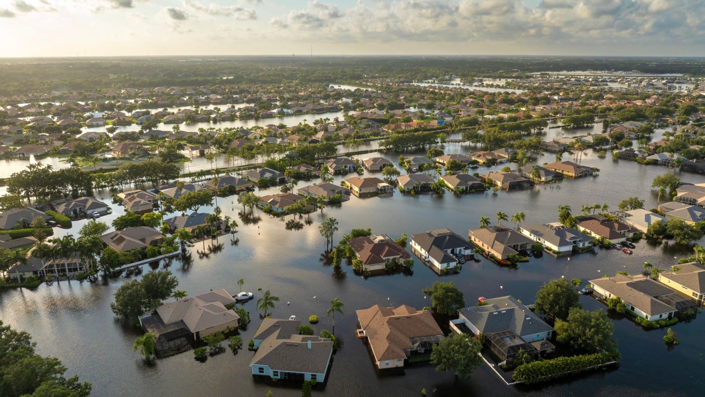
ICEYE, a provider of satellite-powered disaster management solutions, has introduced a new hurricane data solution designed to assist insurers in assessing the impact of weather events in the US.
The solution provides information on both wind and flooding within 24 hours of a hurricane making landfall, the company said.
It combines high-resolution satellite imagery, ground-based data sensors and auxiliary information to deliver damage data over a wide area, covering “tens of thousands” of square miles.
The solution aims to identify areas of significant neighbourhood and building damage along the hurricane’s path.
Using synthetic aperture radar (SAR) technology, the solution can monitor affected areas through cloud cover and at any time of day or night, allowing for continuous assessment of the impact.
The data allows insurers to overlay property portfolio information with a heat map of building damage and flood depth measurements.
This timely information aims to offer insurers situational awareness ahead of traditional data sources, helping them identify the most impacted customers and large loss concentrations more quickly, the company added.
It also supports insurers in streamlining claims triage, with the ability to identify complex claims involving both wind and flood damage.
ICEYE insurance solutions vice-president Rupert Bidwell said: “Our Hurricane Solution offers insurers a completely new level of situational awareness as we head towards the 2025 hurricane season.
“Access to near real-time, large-scale damage data for both wind and flood within 24 hours of landfall can help supercharge every phase of the response from initial loss estimates to claims resolution. Ultimately, it helps insurers deliver an enhanced customer experience through more effective support, better claims triage and faster settlement when they need it most.”
Last month, ICEYE launched four new satellites offering 25cm resolution. These satellites were sent into space on 15 March 2025 via Exolaunch on the Transporter-13 rideshare mission, operated by SpaceX from Vandenberg Space Force Base in the US.
By operating a constellation of SAR satellites, ICEYE offers persistent monitoring and real-time insights on Earth to detect changes in the aftermath of disasters.


